GIS
High Precision Positioning: Revolutionizing Fieldwork with Rugged Handheld Devices
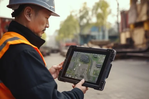
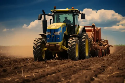
In the realm of fieldwork across various industries, from construction to agriculture, the demand for accurate and reliable positioning data has never been higher. High precision positioning technologies, coupled with rugged handheld devices, are transforming the way professionals conduct their operations. These advanced tools offer unparalleled accuracy and durability, ensuring that critical data can be collected efficiently and effectively in even the harshest environments.



The Evolution of High Precision Positioning
High precision positioning refers to the use of technologies such as GPS, GNSS (Global Navigation Satellite System), and RTK (Real-Time Kinematic) to determine exact locations with centimeter-level accuracy. This level of precision is crucial for applications that require meticulous measurements and detailed mapping, such as land surveying, construction layout, precision farming, and environmental monitoring.
The Role of Rugged Handheld Devices
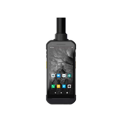
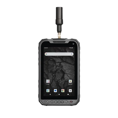
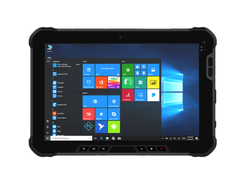
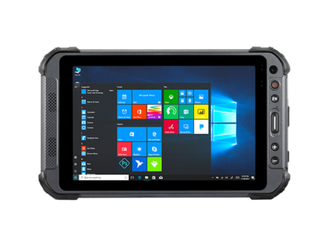
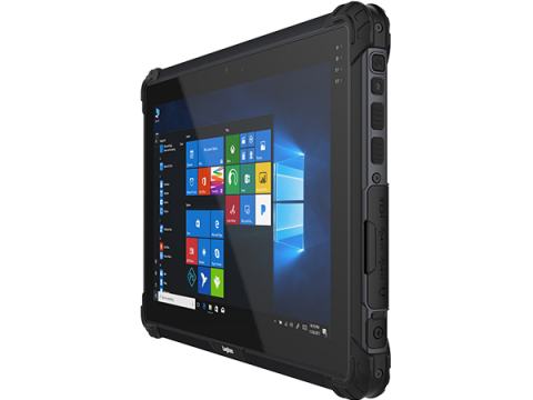
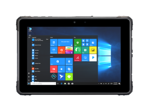
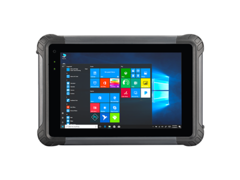
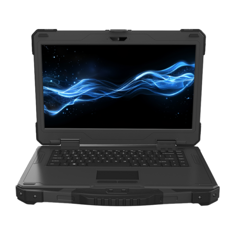
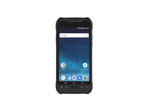
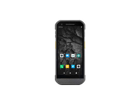
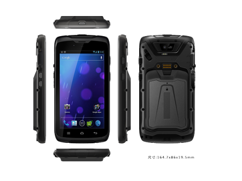
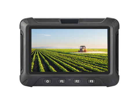
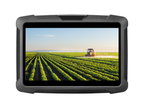
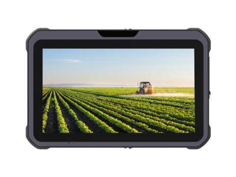
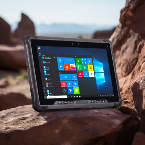
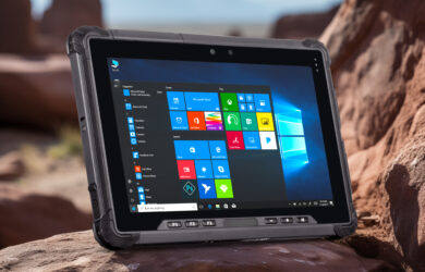
Rugged handheld devices are specifically designed to withstand the rigors of outdoor and industrial environments. They are built to be resistant to dust, water, extreme temperatures, and impacts, ensuring reliable performance in conditions where standard consumer-grade devices would fail. When integrated with high precision positioning technology, these devices become indispensable tools for fieldwork professionals.
Accuracy and Connectivity
The integration of high precision positioning technology allows for extremely accurate data collection. This is essential for tasks like surveying land boundaries, laying out construction projects, and managing agricultural operations. The ability to pinpoint exact locations with minimal error reduces the risk of costly mistakes and rework.Rugged handheld devices are equipped with various connectivity options, including Bluetooth, Wi-Fi, and cellular networks. This ensures that data collected in the field can be easily transmitted to central databases or cloud platforms for analysis and decision-making. Real-time data sharing enhances collaboration and efficiency across teams.
User-Friendly Interface
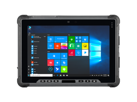
Modern rugged handheld devices feature intuitive interfaces and high-resolution touchscreens that remain responsive even when wearing gloves. This ease of use is crucial for field workers who need to quickly and accurately input data, navigate maps, and access relevant information.

